Loading…
Aerial Services
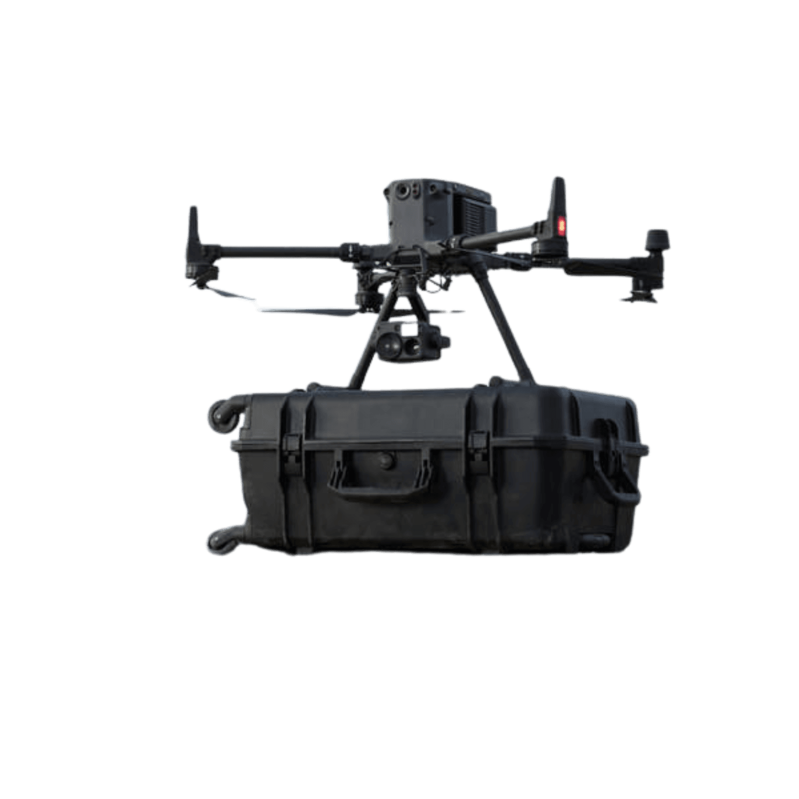
Our Matrice 350 RTK platform brings unmatched efficiency to a variety of operations. From surveying to inspection, our aerial services integrate cutting-edge technology, ensuring optimal results. Equipped with innovative features like enhanced battery life, 6-directional sensing, and AI-driven intelligence, the Matrice 350 RTK is perfect for industries demanding high-precision and reliability.
Benefits
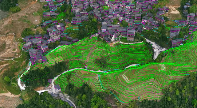
With the Matrice 350 RTK's high-precision sensors and intelligent software, we provide accurate geospatial data to streamline surveying and mapping tasks.
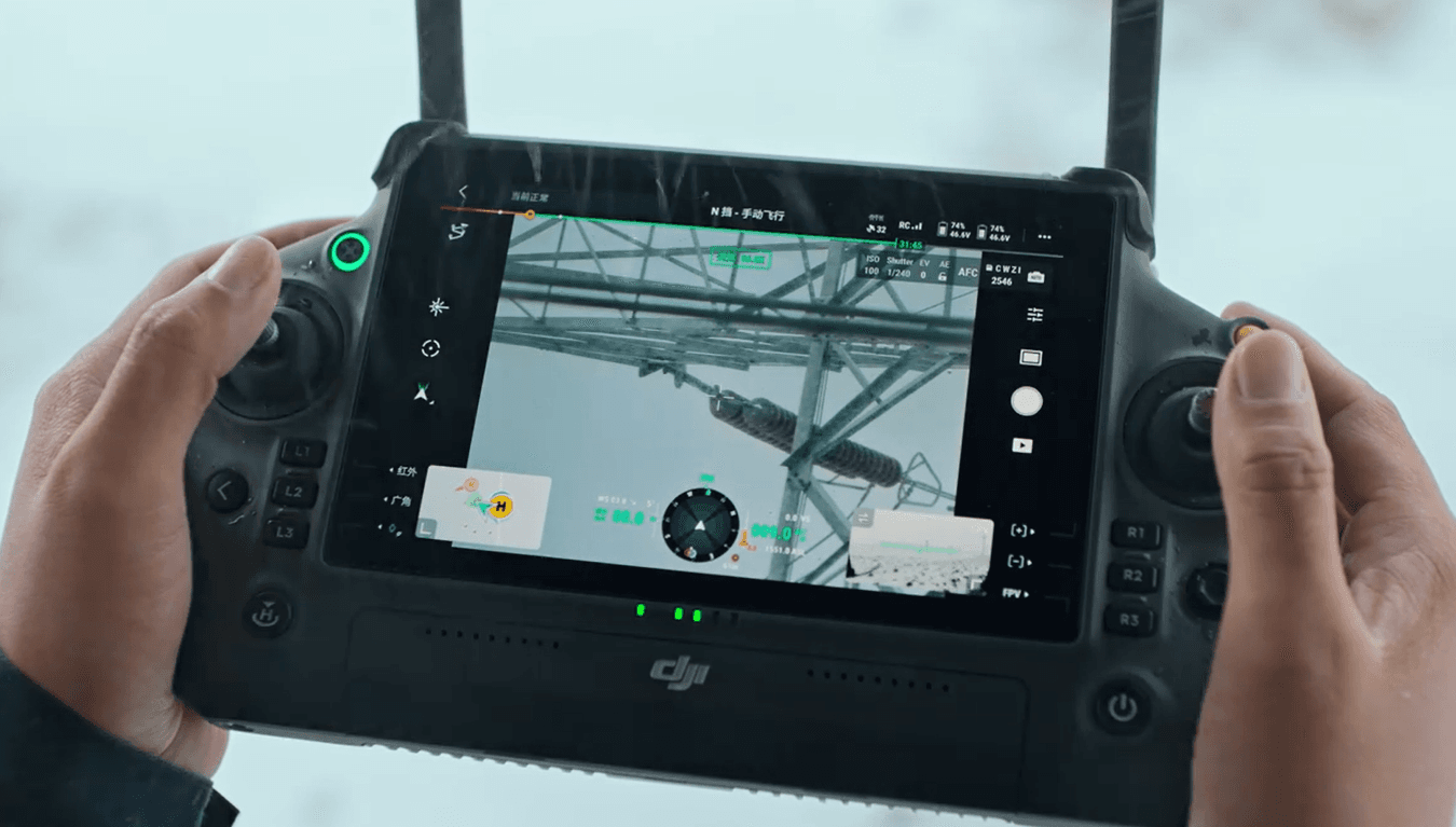
Our drones can carry multiple payloads for comprehensive inspections, offering real-time visual data for infrastructure monitoring, including power lines, buildings, and more.
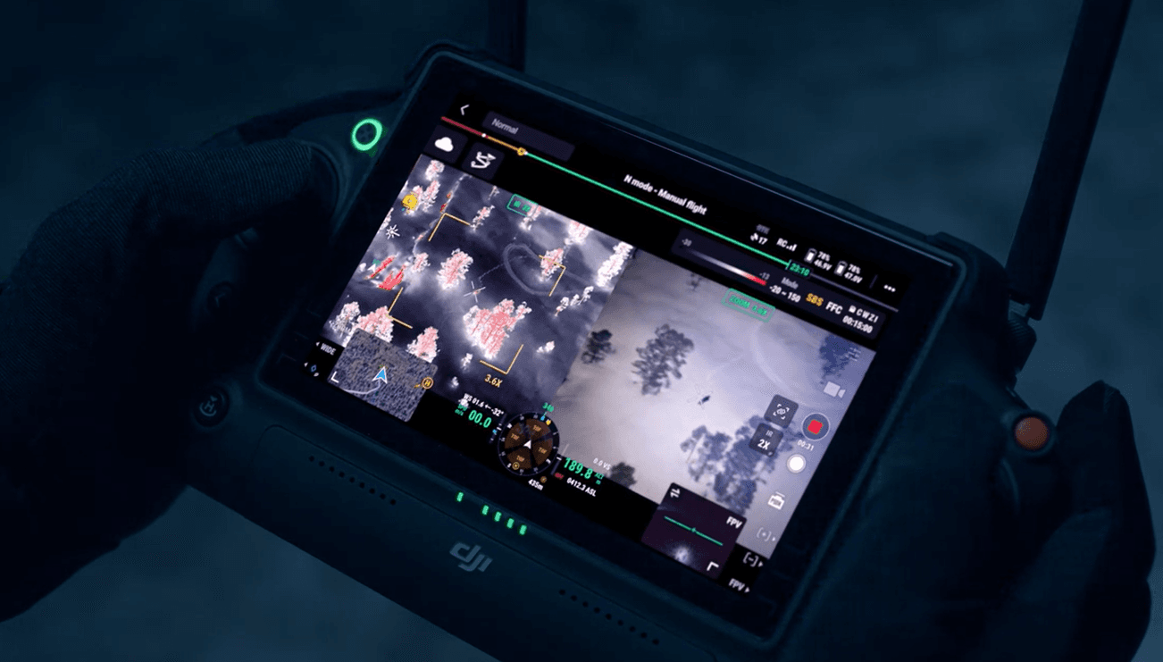
Equipped with thermal cameras and night-vision technology, our drones enhance search and rescue operations, providing crucial visibility in low-light conditions.
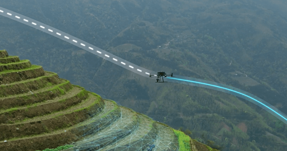
Monitor large agricultural fields, identify health issues with multispectral sensors, and manage crops efficiently with our drone services designed for modern farming.
AI add-on
Elevate your operations with iDrone, our AI-driven solution designed to seamlessly integrate with drone platforms. iDrone harnesses the power of AI to automate complex tasks, analyze data, and deliver insights faster and more efficiently. Whether it's for precision mapping or advanced inspection, iDrone ensures your drone fleet is optimized for success.
Services
Accurate and efficient land mapping with high-precision drone surveys.

Enhanced infrastructure inspection, identifying potential problems early.

Effective support for emergency response operations, even in challenging conditions.
Talk to A2TECH
Tell us the site and the data you need.